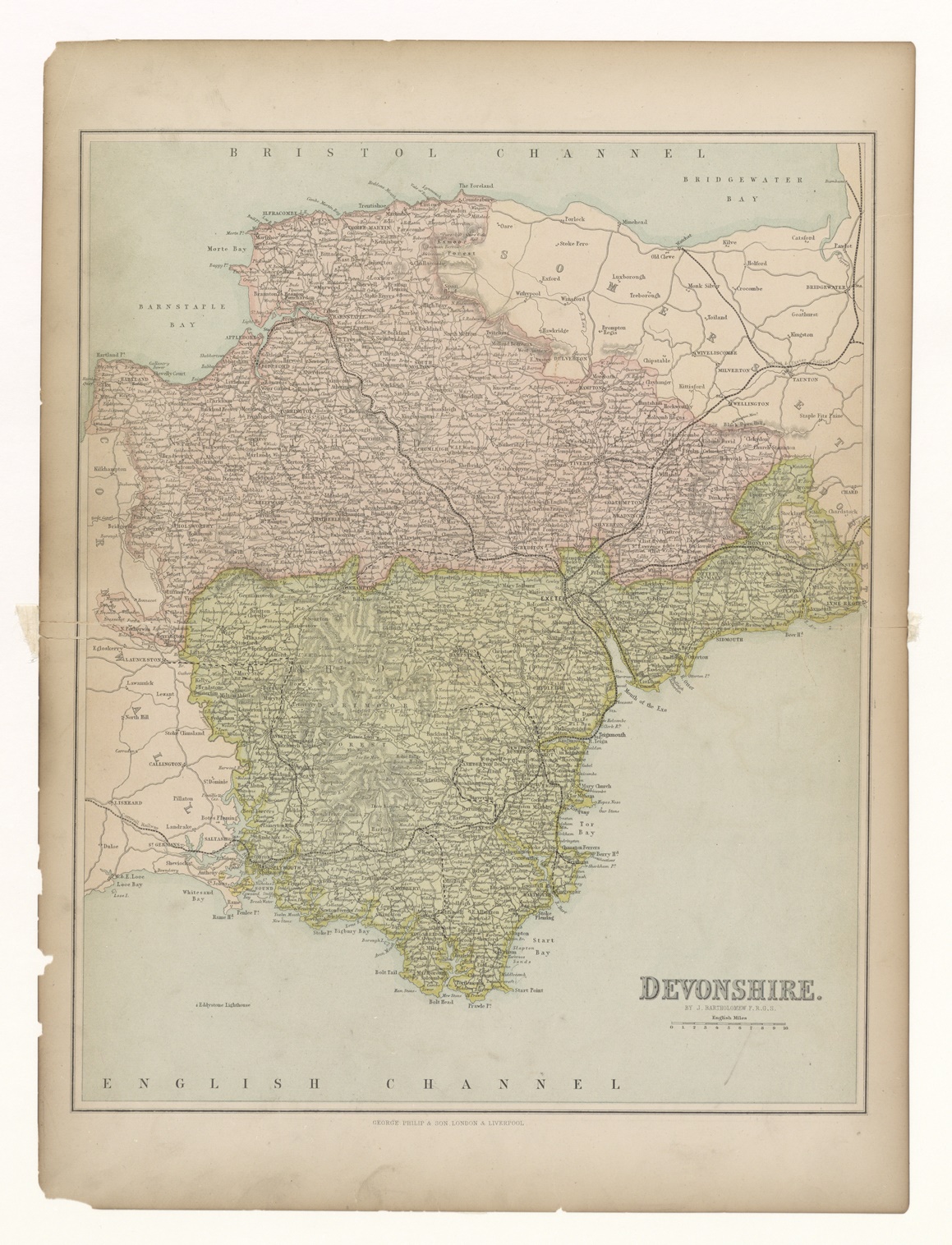
141.1 George Philip & Son
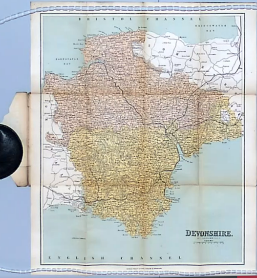
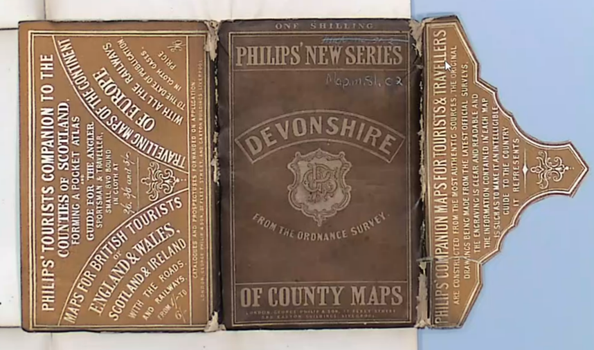
141.1 First state - showing the folding map in wallet
My thanks to Mairi Fraser and all staff at NLS. Images courtesy of the National Library of Scotland.
(Images taken during video call to view map.)
141.3 George Philip & Son - Atlas of the Counties 1868

141.5 George Philip & Son - "Pictorial World" issue

141.6 George Philip & Son - Folding map in covers with Wyld label (note absence of county title)
141.11 George Philip & Son - Folding map in covers; issued in green or red covers with "SPECIAL EDITION" on front
141.17 George Philip & Son - Folding map in red printed covers with cycling information
141.18 George Philip & Son - From both Philips´Atlas of the Counties and from Philips´Atlas of the British Isles c. 1896